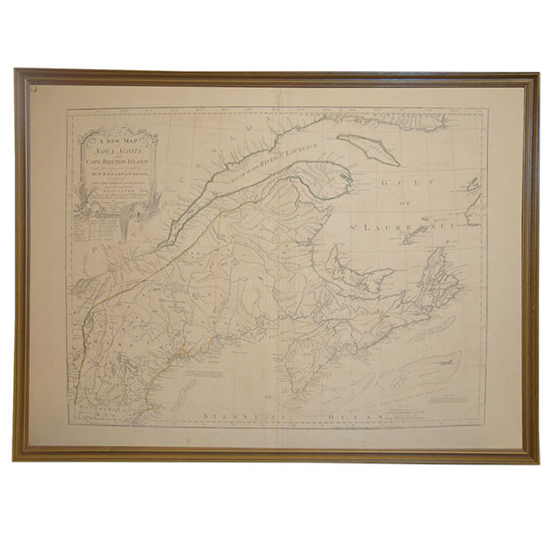
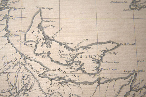
Notes: A new map of Nova Scotia, and Cape Breton Island with the adjacent parts of New England and Canada, composed from a great number of actual surveys; and other materials regulated by many new astronomical observations of the longitude as well as latitude, on a scale of 1:1,900,000, made by Thomas Jefferys (Braddock Meade, John Green), Geographer to the King, 1771, published and sold by R. Sayer & J. Bennett, London, page 14 in the American Atlas, 15 June 1776, copper engraving with outline in hand-colour, appropriately marked with all authenticating features (fleur-de-lis watermark under crown with LVC, right side, IV on left, 14 upper left margin, VII upper right corner of border).
The map is hand-coloured, pictorially showing relief, and denoting various important borders, geographic elements, settlement and trade details including a table of Observations on which the map is Grounded from Quebec, Boston, Cape Sable, Cape Canso, Grande Anse, Louisburg/English Harbour, from 1649-1771.
This map is particularly important as it was consulted by the French and English during their ongoing contestation of New Brunswick and Nova Scotia and during the American Revolutionary War Period. Beyond the boundary it depicts the historical rendering of Nova Scotia, the Maritime Provinces, Saint Lawrence Seaway, Gaspe, New England, Bay of Fundy, Canada, New York, Hudson Rivers, Massachusetts, Conneticut, New Hampshire, Boston, the Hamptons, Halifax, PEI, Cape Breton, Quebec, Montreal, Lake Champlain, Newfoundland, Indian and French land designations, and many other notable features and towns.
Dimensions actual: 21 3/4 x 29 3/4 inches
Dimensions (framed): 22 ¾” high x 30 ½” wide
Literature: Kershaw, ‘Early Printed Maps of Canada 1703-1799: Vol 3’; McCorkle, ‘New England in Early Printed Maps 1513-1800’; Stevens & Tree, ‘Comparative Cartography’; Tooley, ‘The Mapping of America’; McCorkle, Sellers & Van EE, ‘Maps and Charts of North America and the West Indies’


